
Nearmap
Nearmap is a leading aerial imagery and location intelligence company.
Sydney - Australia
100 - 1,000
About the company
INDUSTRY (Being Disrupted): Traditional methods of acquiring geospatial data
PAIN POINT (Being Solved): Organisations require current, high-resolution aerial imagery and geospatial data to make informed decisions, but conventional sources often lack the necessary detail, frequency, or accessibility.
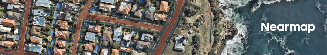
INNOVATION (Being Offered): Nearmap captures urban areas with proprietary camera systems, delivering detailed and up-to-date aerial images that support various applications, from infrastructure planning to disaster response.
Nearmap
job openings
About company
Company perks and benefits
Post a Free Job
Looking for skilled professionals in the tech industry? Post your job for free on Aussie Intelligence.
Post a free job